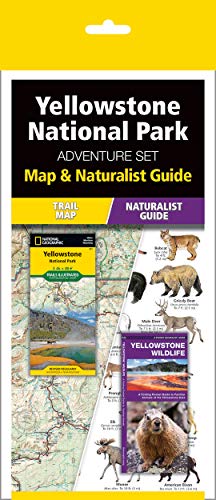
-von-National-Geographic-Maps-738169561.jpg)
Beschreibung
Approximately 4 1/4" x 9" folded; 25 1/2" x 37 3/4" fully opened
Canyonlands National Park: National Geographic Trails Illustrated Utah: Topographic Map. Waterproof. Tear-resistent (National Geographic Trails Illustrated Map, Band 210) von National Geographic Maps im Online-Buchhandel:
-von-National-Geographic-Maps-702718313.jpg)
Bewerte das Buch
- Habe ich gelesen
- Möchte ich noch lesen
- Lieblingsbücher
- Wunschliste


-von-National-Geographic-Maps-745887026.jpg?w=800)

-von-National-Geographic-Maps-745887026.jpg)

-von-National-Geographic-210873865.jpg)
-von-Stephanie-Warren-Drimmer-388941261.jpg)


-von-Hughes,-Catherine-730886016.jpg)